Welcome to the October walk from Millden Lodge to Mount Battock (778m, Trig Point, Corbett), and out to the Cairn o'Mount road via Clachnaben or rhe Charr Bothy. Interestingly(?) Mount Battock is the most easterly Corbett, and the most easterly mountain in Scotland.
***Bookings for this walk are now open.***
Main walk distance 19.6 km (12.2 mile). Ascent 934m / descent 876m. Walk time about 6 hours including stops.
OS maps LR #44 + 45.
Coach leaves at 07:00 from the corner of Midstocket Road and Gordondale Road.
Starting from Millden Lodge on the Glen Esk road at about 150m to Wester Cairn (717m) to Mount Battock (778m and Trig Point) to Sandy Hill (592m) to Hill of Edendocher (577m) to Clachnaben (579m / 589m and Trig Point) then out to the main Clachnaben car park (about 175m) on the Cairn o'Mount road, via Millar's Bog. (Route variations are available via Charr Bothy if preferred).
There is a shorter, easier, low-level route (485m maximum height) that misses out Wester Cairn and Mount Battock; this route follows a track that passes to the W of Whups Craig (295m), goes over Hill of Turret, continues up hill towards Hill of Saughs to about 485m, before heading ca. 45m E off the track to a gate that is well placed. From the gate, head due east (taking care) across heather, tussocks, and bog for about 700m, before picking up deep buggy tracks for about 250m; these join up with the track that runs along side the Water of Dye to Charr Bothy. There is an easy walk out to the minibus from the Bothy. Obviously a walk leader will be needed for this lower level route.
Lower level walk distance 18.4 km (11.4 mile). Ascent 744m / descent 686m. Walk time about 6 hours including stops.
See you on the hill - Keith (0755 175 3204)
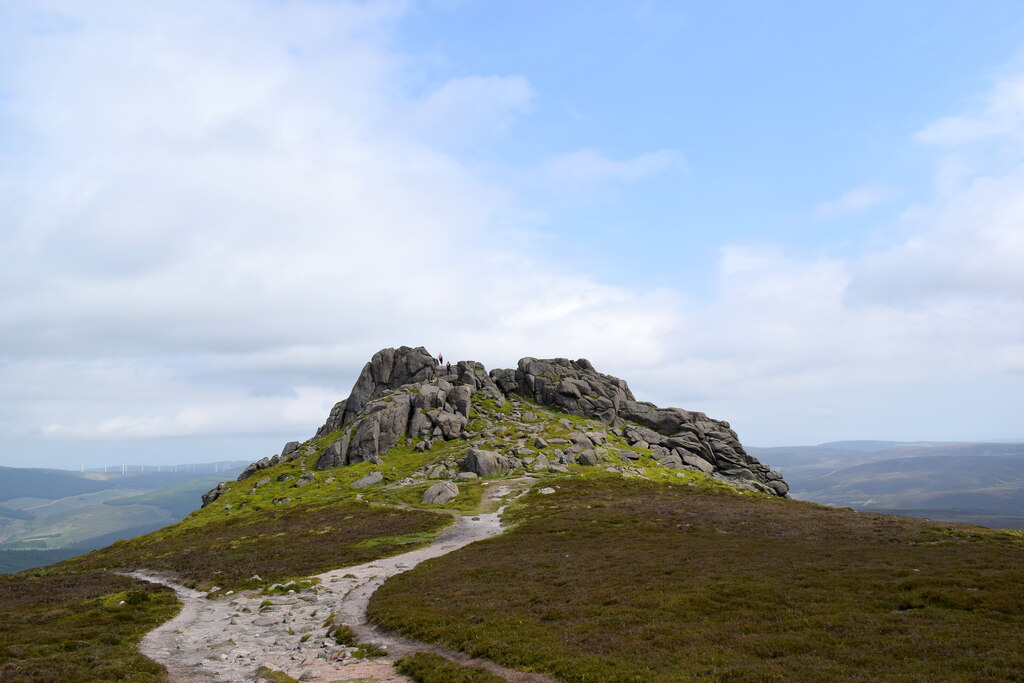
Clachnaben from the west

© Copyright Bill Harrison and licensed for reuse under this Creative Commons Licence.